Monitoring & Restoration
Understanding where Manoomin are thriving — and where they are struggling — to guide targeted restoration and long-term recovery across Michigan's lakes and rivers.
Science and Traditional Knowledge, Together
Meaningful restoration begins with honest accounting — knowing what is present, where it is, how it has changed, and why. MWRI's Monitoring & Restoration subcommittee coordinates this work across tribal, state, federal, and university partners.
For generations, Anishinaabe harvesters have observed Manoomin beds with an intimacy no survey protocol can replicate. MWRI's monitoring framework is designed to honor that knowledge: traditional ecological observations and Western scientific data collection are treated as equally valid and mutually informing sources of information.
Restoration is never simply a technical project. Reseeding a lake, adjusting water levels, or removing invasive species all happen in relationship with the communities that have stewarded those waters. MWRI ensures that all restoration work proceeds with meaningful community participation and consent.
"Working with Tribal, state, federal and private partners to identify restoration goals for Manoomin and appropriate ways to track them across the landscape over time."
What We Are Working Toward
The following goals guide MWRI's Monitoring & Restoration subcommittee. Full objectives for each goal are detailed in Guide 2: MWRI Goals & Objectives.
Landscape-Scale Mapping
Develop and maintain a comprehensive, regularly updated map of Manoomin bed locations across Michigan — integrating Tribal monitoring data, state agency surveys, and community observations — to track changes in distribution, extent, and density over time.
Shared Monitoring Protocols
Establish shared monitoring protocols and data standards across Tribal, state, federal, and university partners so that data collected independently can be meaningfully aggregated, compared, and used for landscape-level analysis and decision-making.
Integration of Traditional Ecological Knowledge
Create formal structures — governed by tribal data sovereignty principles — for incorporating Traditional Ecological Knowledge into monitoring and restoration planning, ensuring that intergenerational observations and cultural indicators of Manoomin health are recognized alongside biophysical metrics.
Restoration Site Identification & Prioritization
Identify and prioritize potential restoration sites based on biophysical suitability, cultural significance, community interest, and likelihood of long-term success — with site selection guided by Tribal nations and ricing communities rather than top-down agency decisions.
Restoration Goals & Effectiveness Tracking
Develop measurable restoration goals and tracking frameworks that allow MWRI and partners to evaluate the effectiveness of restoration investments over time — recognizing that Manoomin recovery unfolds across years and decades, not single seasons.
Threat Assessment & Response
Systematically document the stressors affecting Manoomin across Michigan — including water quality degradation, hydrological alteration, invasive species, climate change, and extractive industrial activity — and coordinate responses across agency and tribal jurisdictions.
See Guide 2: MWRI Goals & Objectives for the full list of objectives accompanying these goals.

How We Track Manoomin Health
MWRI monitoring integrates multiple lines of evidence — field surveys, remote sensing, community harvest observations, and water quality data — into a coherent picture of Manoomin's status across Michigan.
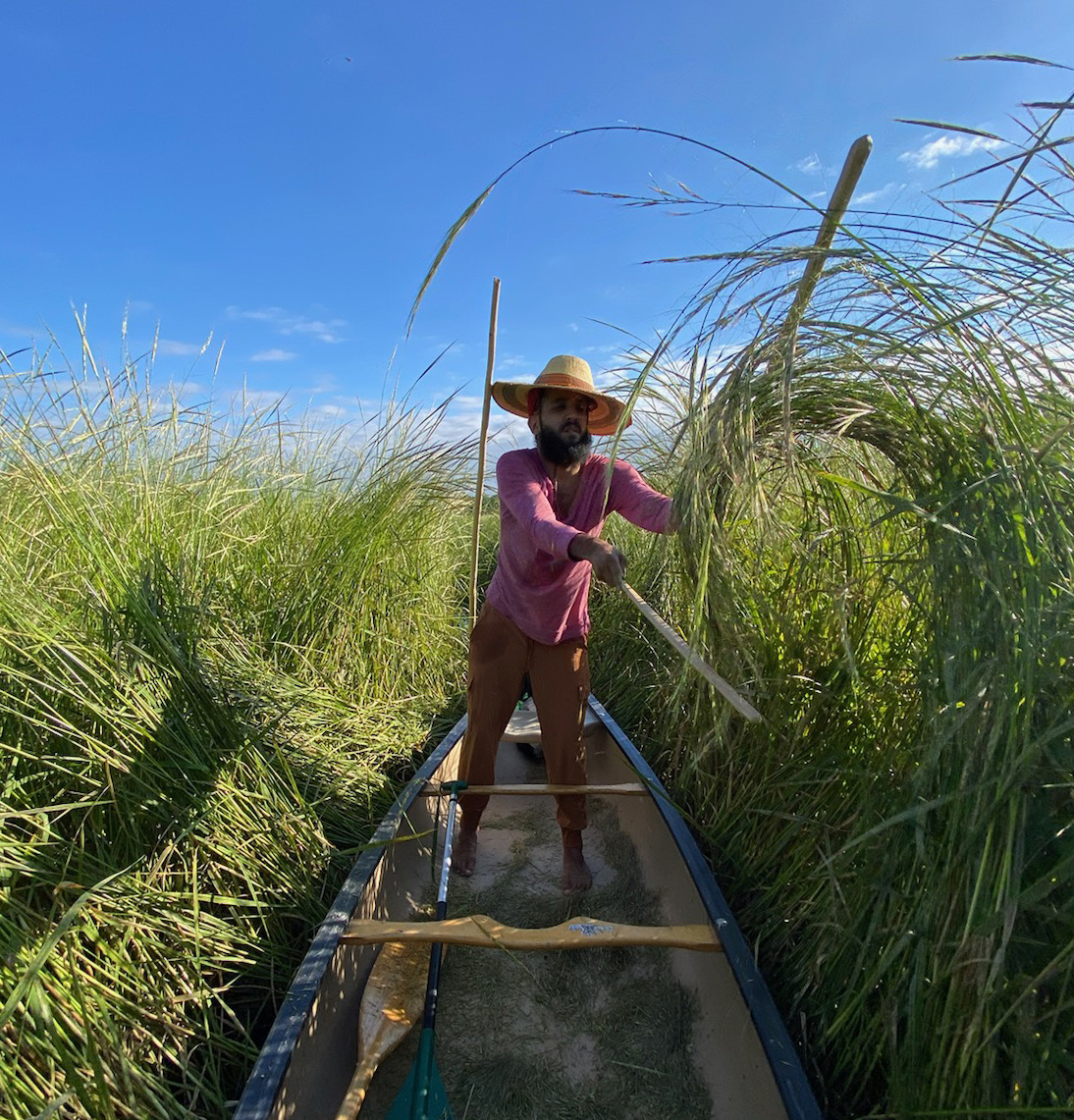
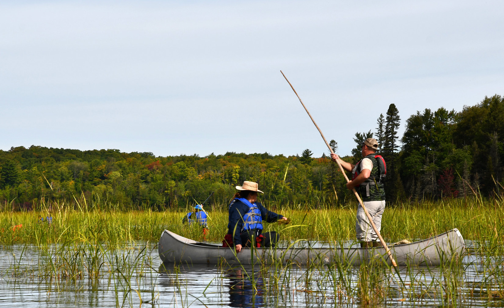
Field surveys document bed extent, stem density, seed set, and associated species using standardized protocols adaptable to the scale and context of each lake or river. Survey data is co-collected by Tribal natural resource staff and state agency biologists wherever possible.
Community harvest observations — reported annually by ricing community members — provide essential real-time ground truth that no agency monitoring program can match at scale. MWRI has developed standardized observation forms to capture these reports in a consistent, privacy-respecting format.
Water quality monitoring tracks the conditions that Manoomin depend on: turbidity, pH, nutrient loading, and hydrology. This data helps identify the upstream causes of bed decline and informs watershed-level intervention strategies.
Returning Manoomin to the Landscape
Restoration encompasses the full cycle — from seed collection and storage to site preparation, reseeding, follow-up monitoring, and adaptive management.
Seed Collection & Banking
Seed for restoration comes from wild Michigan populations selected for genetic diversity and local adaptation. Collection follows cultural protocols — seeds are harvested in partnership with the communities that hold relationships with those beds. Seed stock is stored through a distributed network of Tribal and university seed banks to protect against single-point loss.
Site Selection & Preparation
Not every site is ready for reseeding. MWRI's site assessment process evaluates water depth, light penetration, substrate quality, hydrology, and current water quality — and weighs these biophysical factors against the cultural significance and community priority of each location. Sites with active stressors are addressed before reseeding begins.
Community Consent & Participation
No restoration activity proceeds without the consent and active involvement of the Tribal nation or community with a relationship to that water. MWRI facilitates this process but does not direct it — decisions about restoration belong to the communities whose connection to those waters predates any institution.
How We Share What We Learn
MWRI is committed to transparent reporting of monitoring and restoration outcomes — while rigorously protecting the sovereignty of Tribal data and the privacy of community harvest observations.
- Landscape-level summaries of Manoomin distribution and trend
- Aggregated monitoring findings in annual reports
- Restoration project locations and outcomes with community consent
- Water quality data at the watershed scale
- Methodology documentation and monitoring protocols
- Site-specific location data for sensitive or vulnerable beds
- Tribal data collected under nation-specific data governance agreements
- Individual community harvest observations without explicit consent
- Cultural knowledge shared in the context of collaborative work
- Any data whose release could increase extractive pressure on Manoomin
Annual Monitoring Reports
MWRI publishes annual summaries of monitoring findings and restoration activities. These reports are available to MWRI members through the portal and to the public through the Resources section.